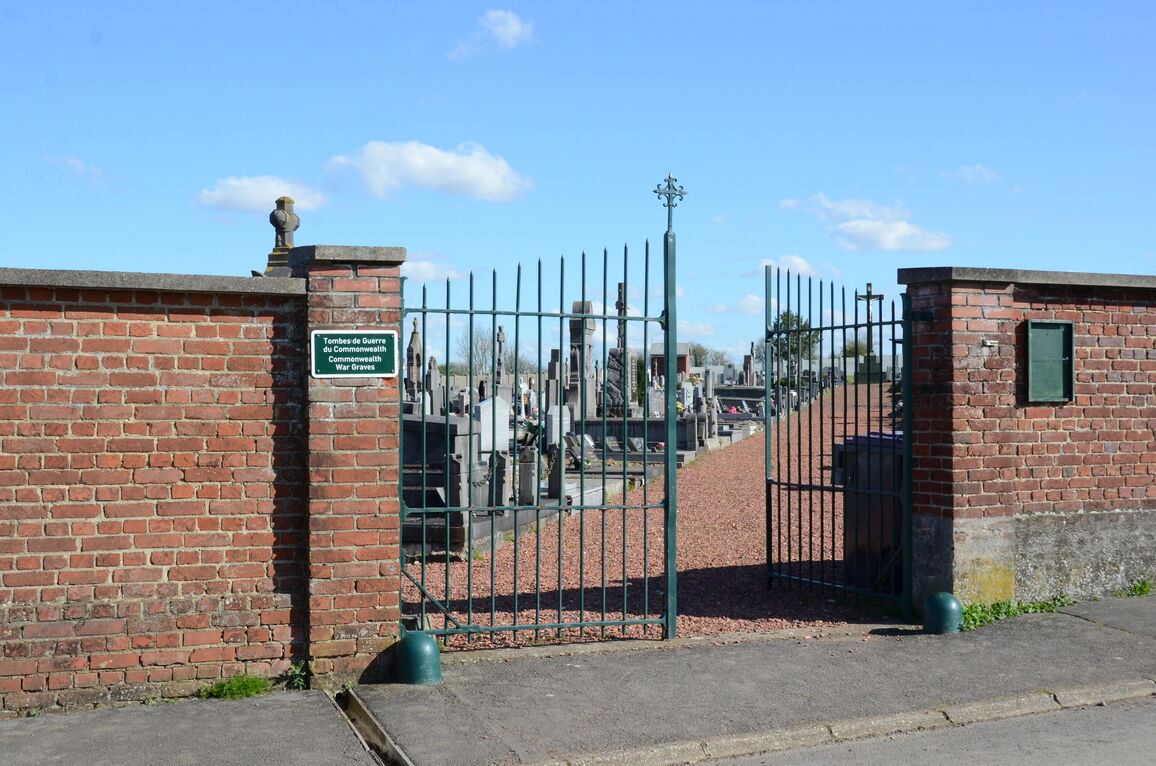
Givenchy-En-Gohelle Communal Cemetery
- Country France
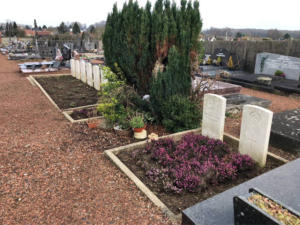
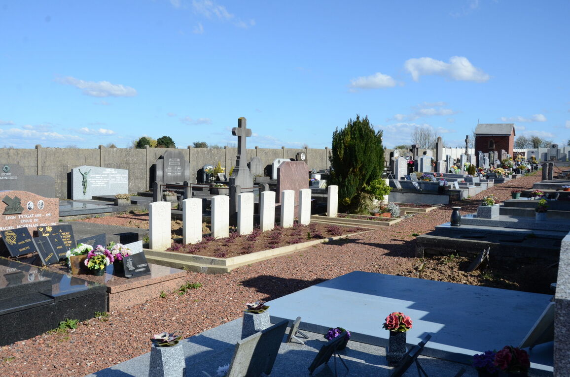
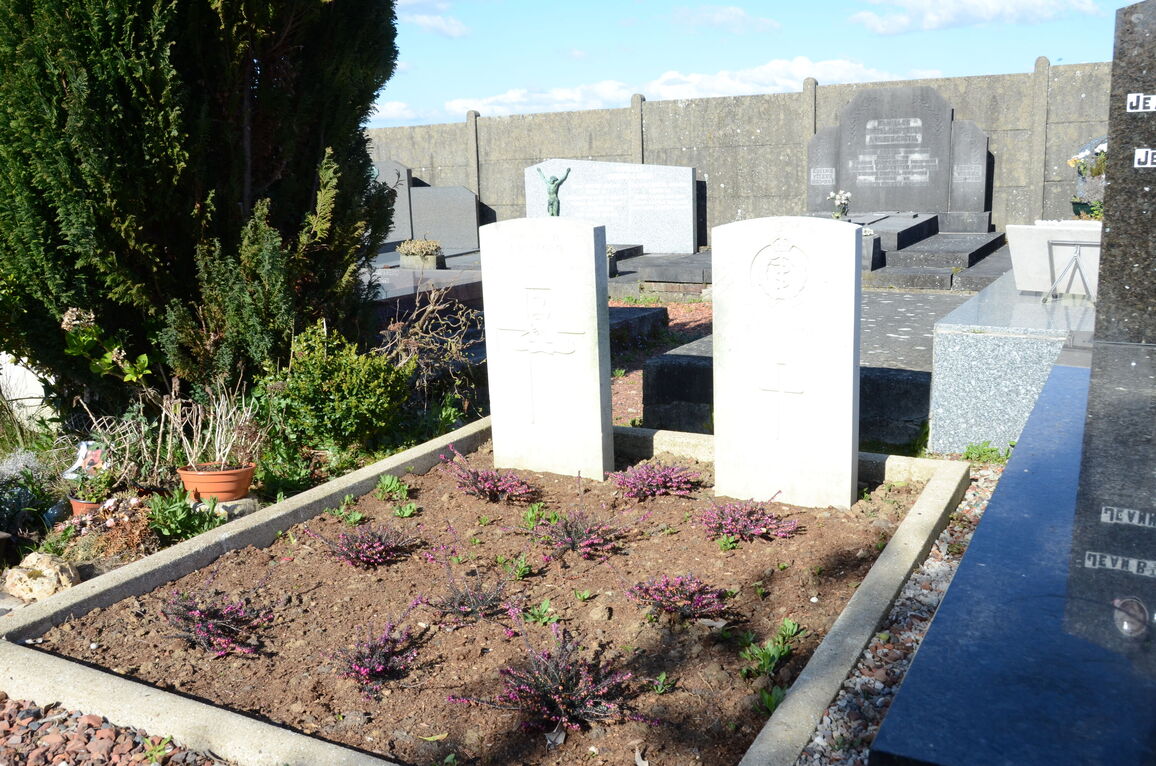
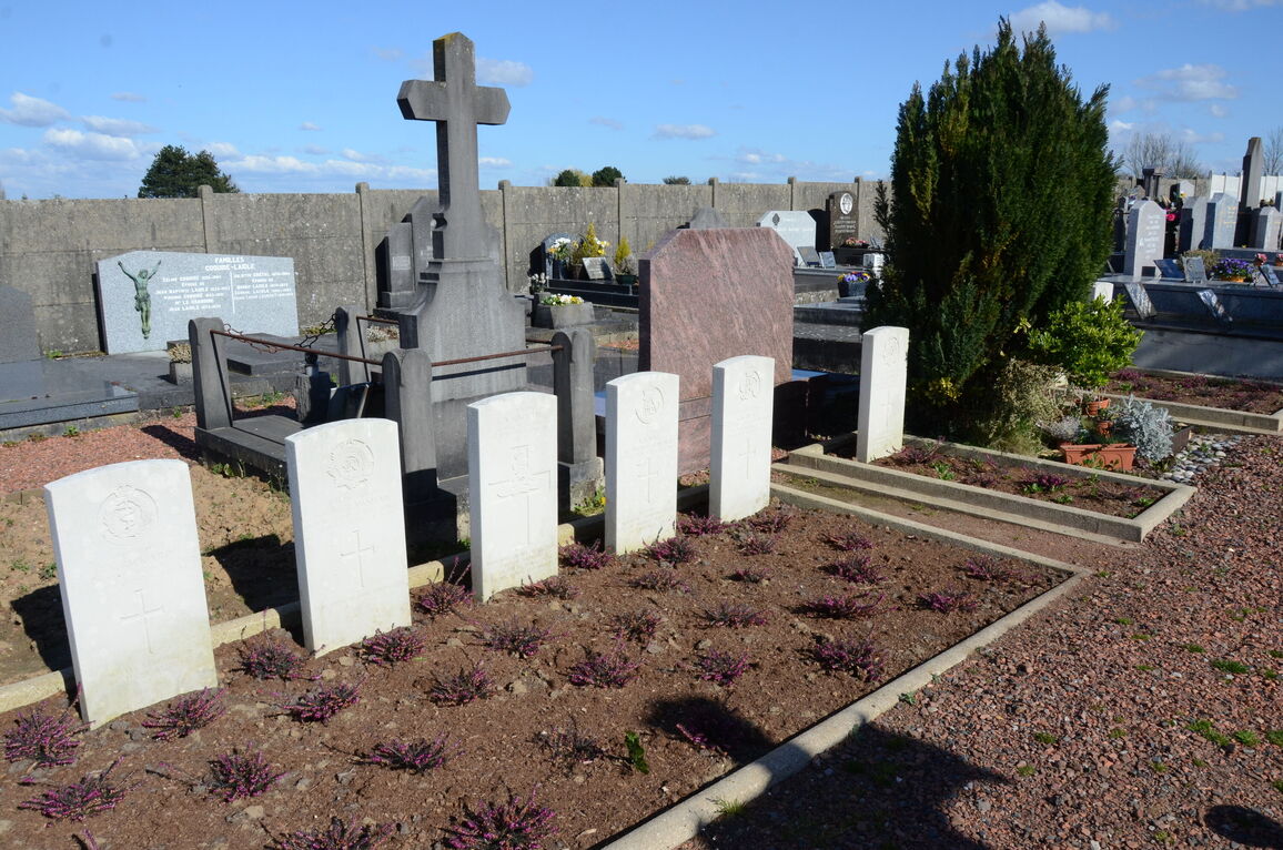
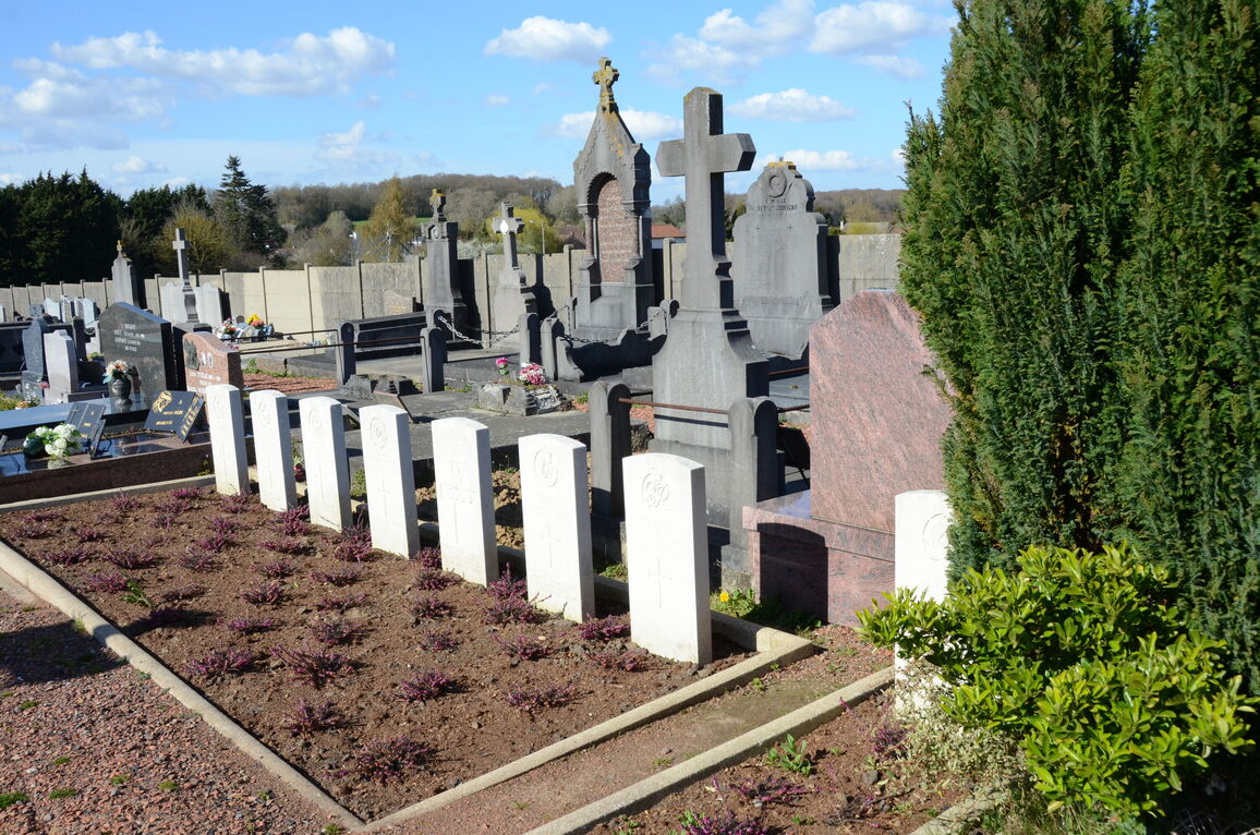
- Total identified casualties 10 Find these casualties
- Region Pas de Calais
- Identified casualties from Second World War
- GPS Coordinates Latitude: 50.39345, Longitude: 2.77498
Location information
Givenchy-en-Gohelle is a village 12 kilometres north of Arras and 2 kilometres east of Souchez, a village on the road from Arras to Bethune. Givenchy-en-Gohelle Communal Cemetery is about 350 metres north-east of the church.
History information
There are now 10, 1939-45 war casualties commemorated in this site.