Loos-En-Gohelle Communal Cemetery
- Country France
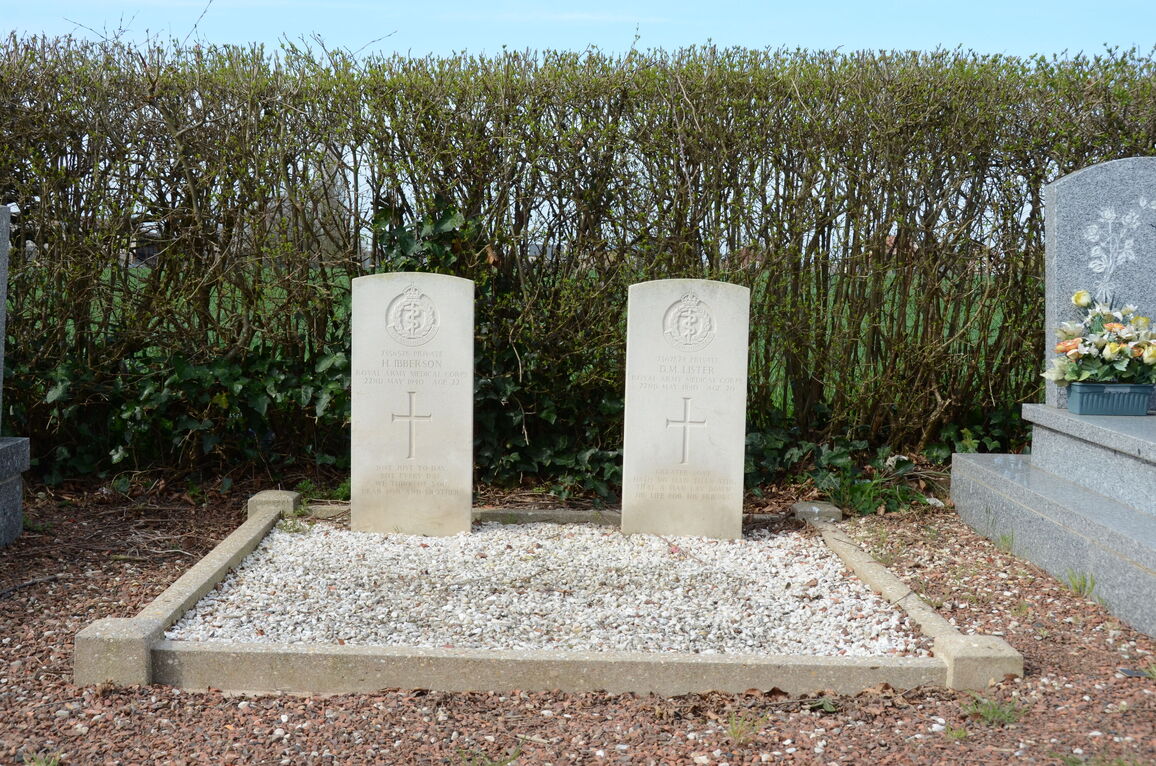
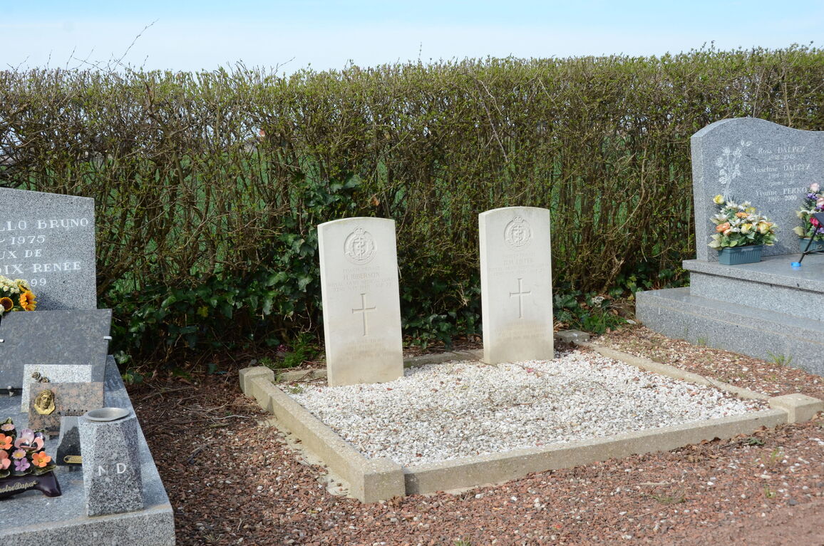
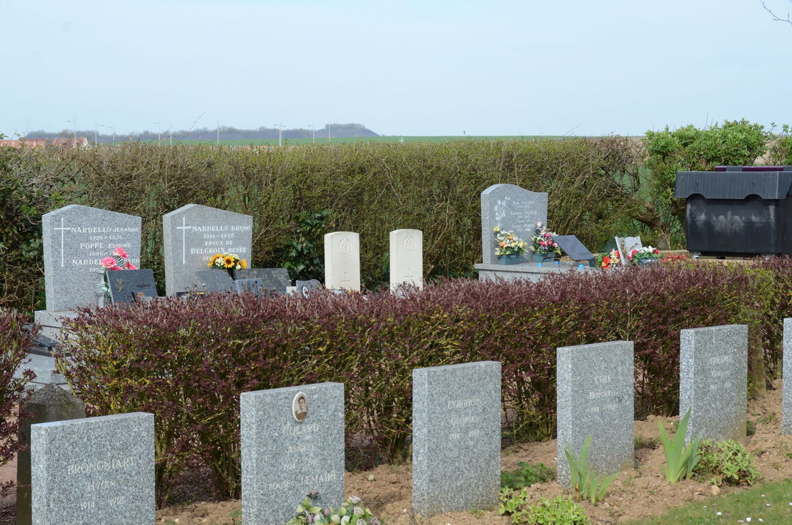
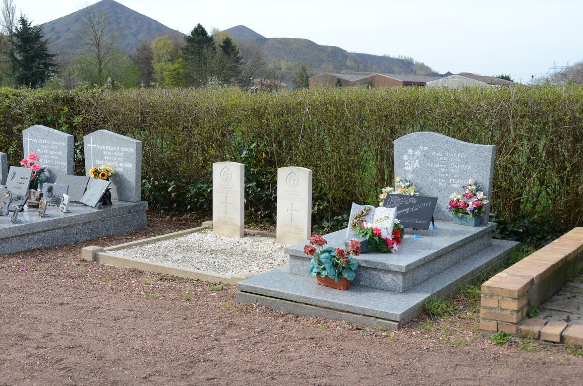
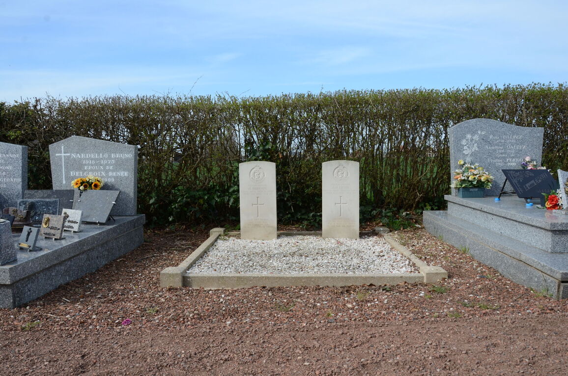
- Total identified casualties 2 Find these casualties
- Region Pas de Calais
- Identified casualties from Second World War
- GPS Coordinates Latitude: 50.45636, Longitude: 2.78669
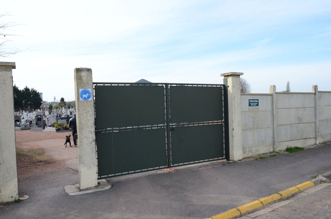
Location information
The communal cemetery at Loos-en-Gohelle, also known as Loos, is on the north side of the road leading to the village square from the N.43 (Lens - Bethune) road. The two Commonwealth war graves are near the western boundary, and are west of the crucifix which stands in the main path.