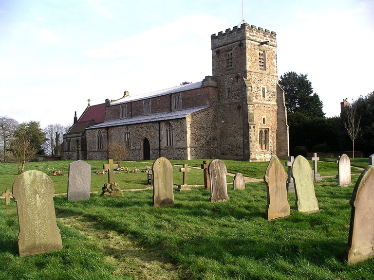
Brandesburton (St. Mary) Churchyard
- Country United Kingdom
- Total identified casualties 41 Find these casualties
- Region Yorkshire
- Identified casualties from Second World War
- GPS Coordinates Latitude: 53.91237, Longitude: -0.29803
History information
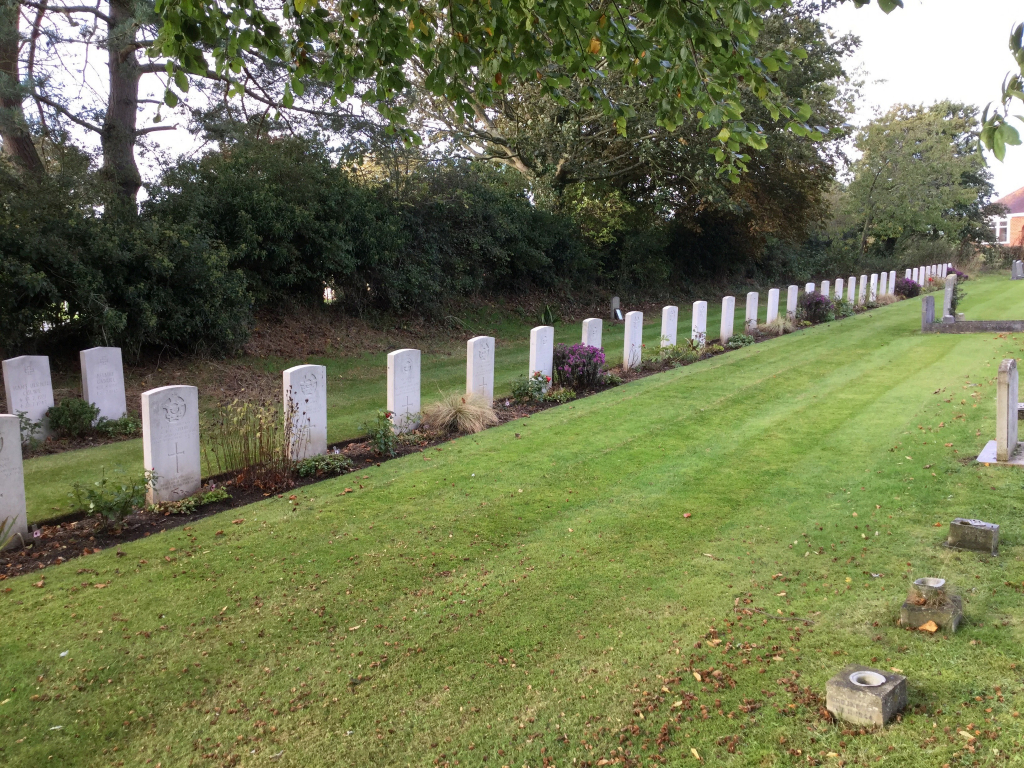
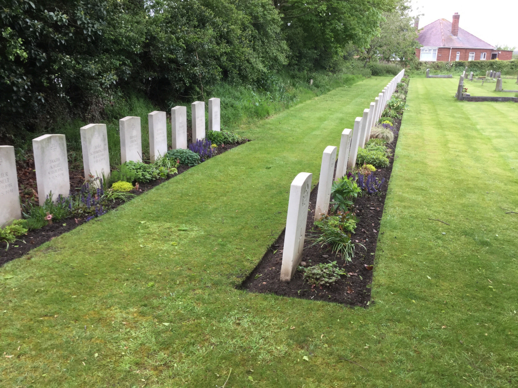
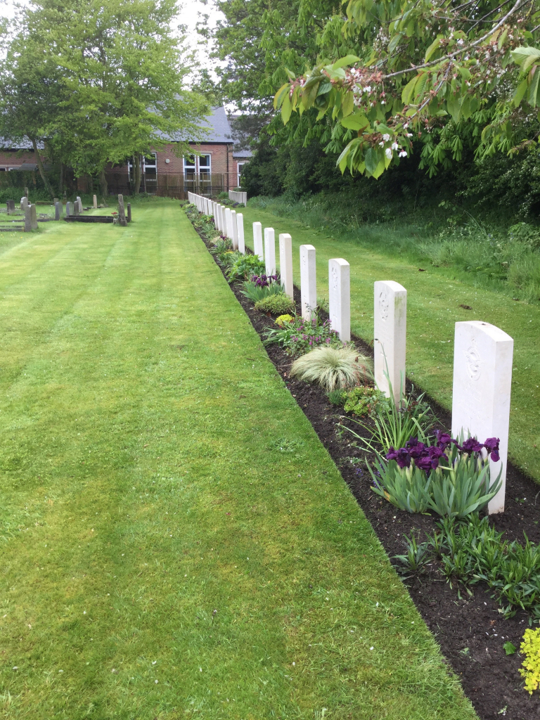
This is 8 miles north-east of Beverley on the main road to Bridlington. The burials are in a plot used by the local R.A.F. Aerodrome Station at Catfoss, near Hull. 4 of the airmen are unidentified.