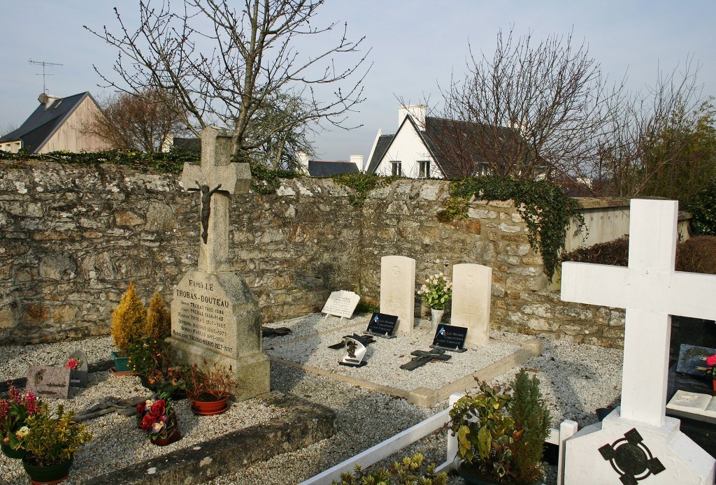
Benodet Communal Cemetery
- Country France
- Total identified casualties 2 Find these casualties
- Region Finistere
- Identified casualties from Second World War
- GPS Coordinates Latitude: 47.87745, Longitude: -4.10491
Location information
Benodet is a large village and commune almost 8 miles 13 kilometres due south of Quimper, the chief town of the Department of Finistere. It stands at the junction of the road from Quimper and the road to Fouesnant. The cemetery is on the eastern outskirts of the village, on the northern side of the road to Fouesnant. In the north-western corner are the graves of two airmen of the Royal Air Force.


