Airel Churchyard
- Country France
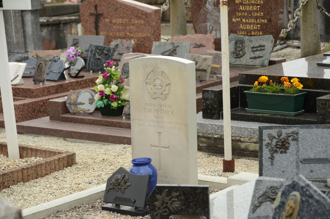
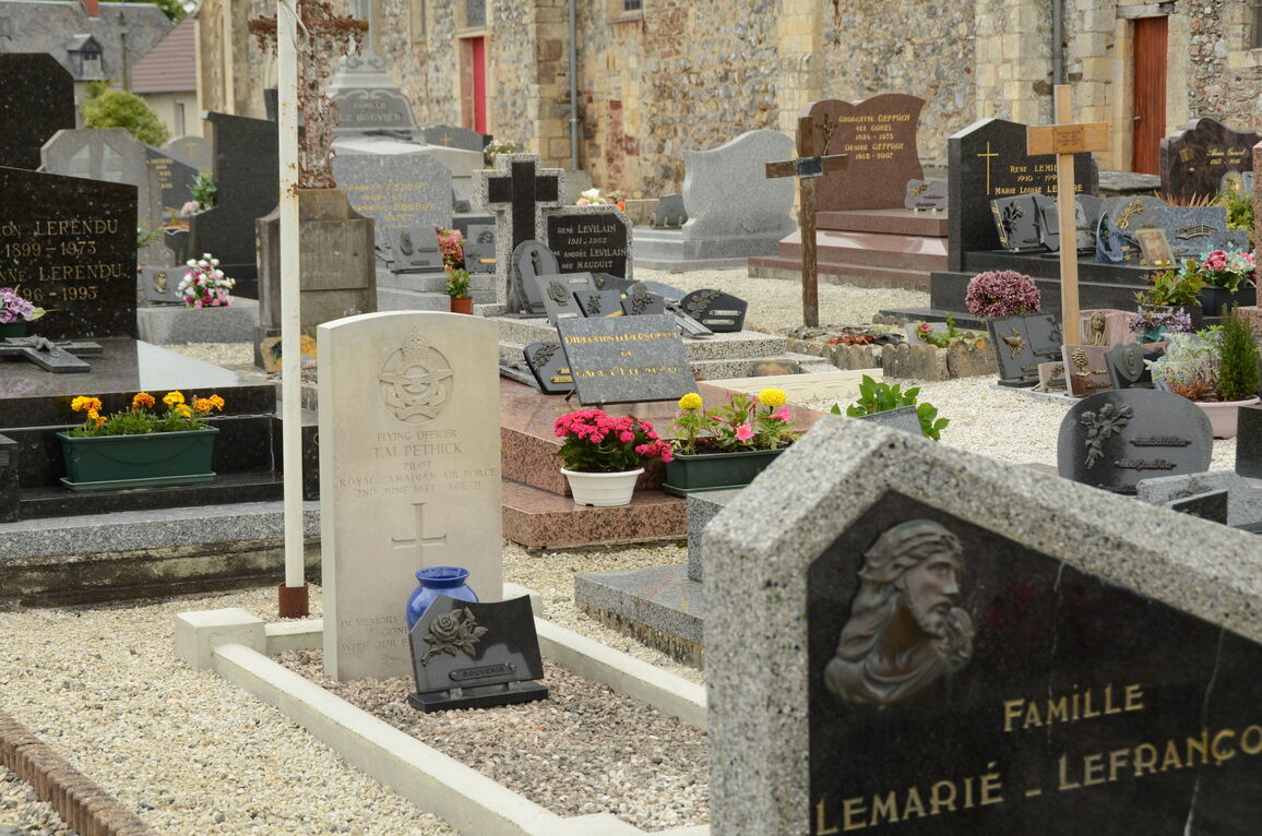
- Total identified casualties 1 Find these casualties
- Region Manche
- Identified casualties from Second World War
- GPS Coordinates Latitude: 49.22284, Longitude: -1.07964
Location information
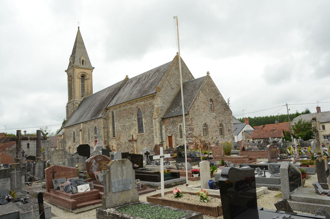
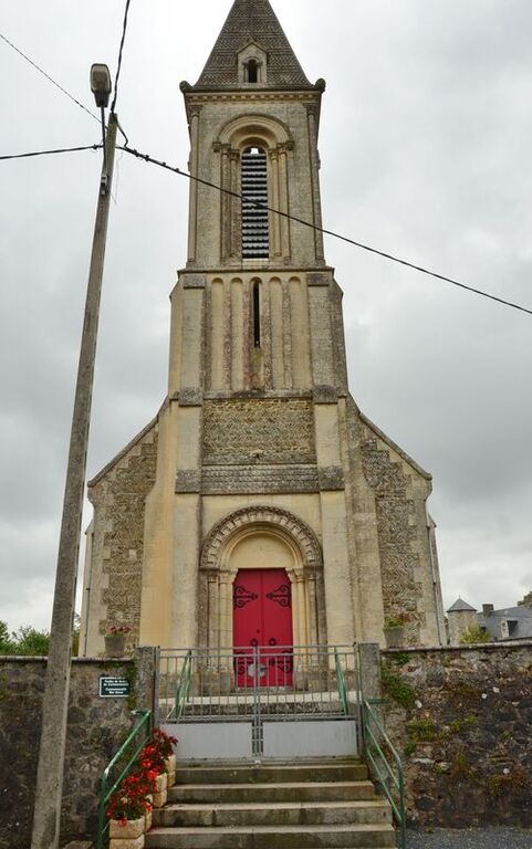
Airel is a village 12 kilometres north of the town of S. Lo. There is 1 Commonwealth burial of the 1939-1945 war here, 16 metres south-east of the south-eastern corner of the church.