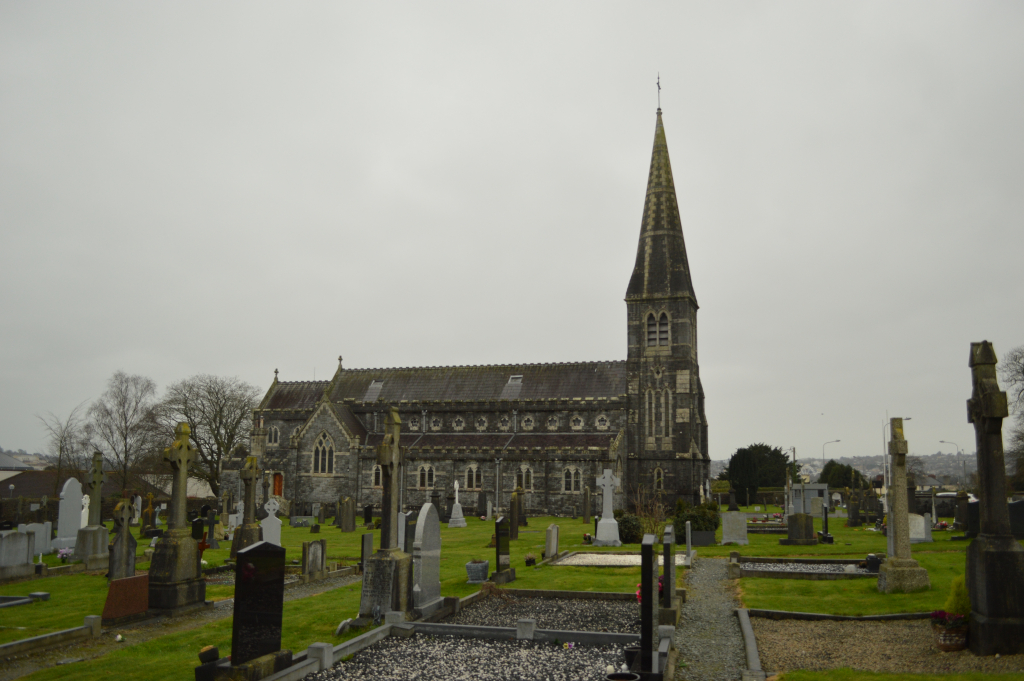
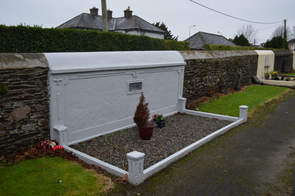
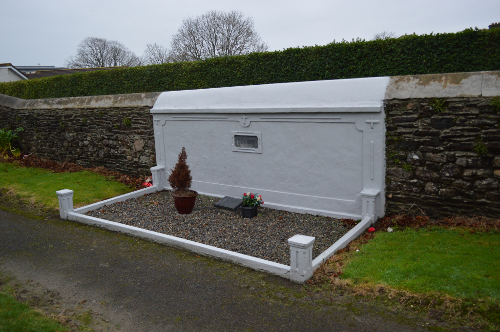
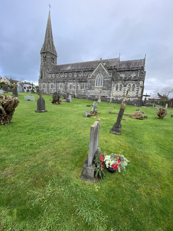
Ferrybank Catholic Churchyard
- Country Ireland, Republic of
- Total identified casualties 2 Find these casualties
- Region County Kilkenny
- Identified casualties from First & Second World War
- GPS Coordinates Latitude: 52.26684, Longitude: -7.10097
History information
The churchyard is on the East bank of the River Suir, overlooking Waterford Harbour.
There is 1 Commonwealth burial of the 1914-1918 war and 1 of the 1939-1945 war here.